
Introduction to Geospatial Data Systems
Geospatial data systems play a critical role in enhancing spatial awareness, providing individuals and organizations with the ability to understand, analyze, and act upon location-based information. By combining geographic data with advanced computing technologies, these systems enable accurate mapping, real-time monitoring, and spatial analysis that inform decision-making across diverse sectors.
Spatial awareness powered by Geospatial data systems is essential for industries such as urban planning, transportation, defense, environmental management, logistics, and healthcare. These systems allow users to visualize complex environments, identify patterns, and optimize operations with precision and efficiency.
Core Components of Geospatial Data Systems
Geographic Information Systems (GIS)
GIS is the foundation of geospatial data systems, allowing for the collection, storage, analysis, and visualization of spatial data. GIS platforms enable users to create layered maps, perform spatial queries, and analyze geographic relationships. These capabilities are crucial for urban planning, resource management, and situational analysis.
Modern GIS tools support real-time data integration, predictive analytics, and 3D modeling, which enhance spatial awareness and provide actionable insights across multiple applications.
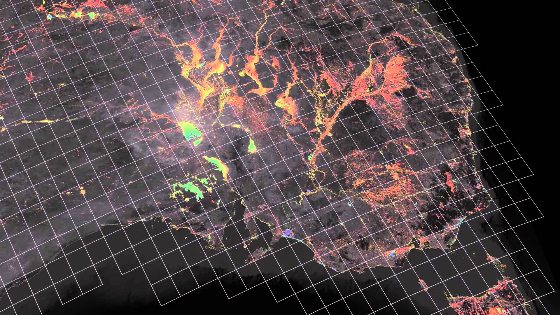
Remote Sensing and Satellite Imagery
Remote sensing technologies capture geospatial information from satellites, drones, and aerial platforms. High-resolution imagery provides detailed insights into land use, environmental changes, and urban development.
By analyzing this data, geospatial systems can detect patterns, monitor changes, and support strategic planning. Applications range from disaster management to precision agriculture, where spatial awareness is vital for operational success.
Global Positioning System (GPS)
GPS technology is essential for real-time geolocation and navigation. It allows geospatial data systems to track assets, monitor movement, and integrate location information with broader spatial datasets.
GPS supports a wide range of applications, including fleet management, navigation systems, autonomous vehicles, and emergency response, enhancing situational awareness and operational efficiency.
LiDAR and 3D Mapping
LiDAR technology generates precise three-dimensional representations of physical environments by measuring distances using laser pulses. When combined with GIS and remote sensing, LiDAR enhances spatial awareness by providing accurate terrain models, infrastructure assessments, and urban simulations.
Industries such as construction, transportation, and environmental monitoring utilize 3D mapping to improve planning, risk assessment, and operational decision-making.
Applications of Geospatial Data Systems
Urban Planning and Smart Cities
Geospatial data systems enhance spatial awareness in urban planning by providing insights into population density, land use, infrastructure, and environmental conditions. Interactive maps and predictive analytics allow planners to model urban growth, optimize transportation networks, and allocate resources efficiently.
Smart cities leverage these systems to monitor traffic flows, energy consumption, and public services, enabling data-driven decision-making for sustainable urban development.
Transportation and Logistics
In transportation and logistics, geospatial data systems provide real-time tracking, route optimization, and operational monitoring. Fleet managers can leverage GPS data and traffic analysis to reduce delays, minimize fuel consumption, and improve service delivery.
Autonomous vehicles and intelligent transportation systems rely on spatial data systems to navigate safely and efficiently, enhancing situational awareness on roads and urban networks.
Environmental Monitoring and Disaster Management
Geospatial data systems are critical for monitoring natural resources, environmental changes, and disaster-prone areas. Satellite imagery, sensors, and GIS platforms allow organizations to track deforestation, water levels, air quality, and climate-related risks.
During natural disasters, geospatial systems provide real-time situational awareness, enabling rapid response, resource allocation, and effective mitigation strategies.
Healthcare and Public Health
Spatial awareness powered by geospatial data systems improves healthcare planning and public health management. Health organizations can monitor disease outbreaks, analyze healthcare accessibility, and plan emergency responses based on geospatial insights.
By integrating demographic data with geospatial intelligence, healthcare providers can optimize the placement of facilities, allocate resources effectively, and improve population health outcomes.
Business Intelligence and Market Analysis
Businesses utilize geospatial data systems to gain insights into consumer behavior, market trends, and competitor presence. Spatial analysis enables companies to optimize store locations, supply chains, and marketing campaigns.
Advanced visualization tools, including heatmaps and interactive dashboards, allow decision-makers to explore spatial relationships, identify opportunities, and enhance strategic planning.
Technologies Enhancing Geospatial Systems
Cloud Computing and Big Data
Cloud computing and big data platforms enable scalable storage, processing, and analysis of large geospatial datasets. Organizations can integrate multiple data sources, manage real-time streams, and perform advanced analytics, enhancing situational awareness and operational efficiency.
Artificial Intelligence and Machine Learning
AI and machine learning enhance geospatial data systems by automating spatial analysis, detecting patterns, and generating predictive insights. These technologies improve decision-making in logistics, urban planning, environmental monitoring, and public safety by providing actionable intelligence based on spatial data.
Visualization and Interactive Tools
Interactive visualizations, 3D mapping, and dashboards make geospatial data accessible and actionable. Users can monitor live conditions, explore spatial patterns, and communicate insights effectively, supporting collaboration and informed decision-making.
Benefits of Geospatial Data Systems
Improved Situational Awareness
Geospatial systems provide comprehensive spatial awareness, enabling organizations to understand dynamic environments and make informed decisions. This capability is crucial for operational planning, risk management, and emergency response.
Enhanced Operational Efficiency
By integrating spatial intelligence into workflows, organizations can optimize resource allocation, reduce delays, and increase productivity. Applications in transportation, logistics, and urban management benefit significantly from geospatial insights.
Proactive Decision-Making
Predictive analytics and real-time monitoring supported by geospatial systems allow organizations to anticipate risks, detect anomalies, and implement proactive strategies. This reduces operational disruptions and improves resilience.
Innovation and Competitive Advantage
Geospatial data systems drive innovation by enabling new products, services, and operational models. Organizations that leverage spatial awareness gain a competitive edge, improving strategic planning, customer engagement, and market positioning.
Challenges in Implementing Geospatial Data Systems
Data Quality and Accuracy
The effectiveness of geospatial systems depends on the accuracy and reliability of the data. Incomplete, outdated, or inconsistent datasets can compromise analyses and decision-making. Continuous data validation and maintenance are essential.
Technical Complexity
Implementing geospatial data systems requires advanced technical infrastructure and specialized expertise. Organizations must manage large datasets, integrate multiple sources, and maintain system reliability for effective operation.
Privacy and Security
Geospatial data often involves sensitive information. Ensuring data privacy, secure access, and regulatory compliance is critical to protecting individuals, organizations, and public trust.
Future Trends in Geospatial Systems
Real-Time and Dynamic Spatial Awareness
The future of geospatial systems focuses on real-time monitoring and dynamic spatial awareness. IoT devices, sensors, and live data streams will provide continuous insights, enabling rapid decision-making and operational responsiveness.
AI-Driven Spatial Analytics
Integration of AI with geospatial data systems will enhance predictive analytics, anomaly detection, and scenario modeling. Organizations will gain deeper insights, enabling proactive and data-driven strategies.
Cross-Industry Expansion
Geospatial data systems will expand across healthcare, transportation, energy, environmental management, and urban development. Their ability to enhance spatial awareness and operational efficiency will make them indispensable in a digitally connected world.
Conclusion
Geospatial data systems are transforming spatial awareness, providing organizations with the tools to analyze, visualize, and act upon location-based information. By integrating GIS, GPS, remote sensing, AI, and cloud computing, these systems enable real-time monitoring, predictive analytics, and informed decision-making.
Applications across urban planning, transportation, environmental monitoring, healthcare, and business intelligence demonstrate the profound impact of geospatial systems. As technology advances, geospatial data systems will continue to enhance spatial awareness, drive innovation, and empower organizations to make smarter, data-driven decisions.